Urban Catchment Management Planning
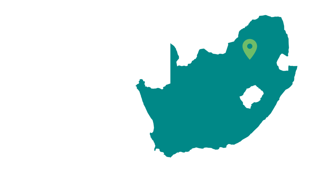
City of Johannesburg, South Africa

Which cities have successfully applied catchment management strategies? What can we learn from them?

Limited tools & guidance and aging infrastructure
The City of Johannesburg (CoJ) is the economic center of South Africa and has experienced significant urban growth. As a result of its rapid urbanization, its two major rivers, the Jukskei and Klip River systems, have experienced settlement encroachment into river courses, flooding, fecal and solid waste pollution, aging infrastructure (waste and storm-water systems), issues of water security such as drought as well as degraded open spaces and reduced amenity value of the river.
This has been exacerbated by the City’s limited tools to guide urban catchment planning, combined with issues related to an aging stormwater and waste reticulation system. As a result of these factors, the CoJ prioritized catchment management planning. During 2018, the City of Johannesburg, South Africa, initiated a pilot urban catchment management planning process.
Strategic adaptive management
The Upper Jukskei was selected as a pilot area to provide an example plan for other urban catchment authorities. The scope of the plan was defined so as to set goals that emphasize the water resource potential for the upper Jukskei catchment, with explicit attention to the integration of stormwater and to expose its implications for land use planning and for river health.The plan combined hydrological modeling (and being explicit about stormwater as part of the water resource) and stakeholder engagement to develop scenarios that drove the setting of: i) a vision; ii) higher level goals; and iii) eventually, technical targets.
The development of this plan is broadly based on the philosophy and understanding that integrated water resource management must be an inclusive, multi-party process that integrates societal values and management goals within a framework that incorporates the need for adaptation. One framework that links with this thinking is the Strategic Adaptive Management (SAM) approach – introduced by the IUCN. SAM provides a framework for managing the flow regimes and water quality to support goals such as healthy ecosystem services, reduced pollution and reduced catastrophic flooding. The SAM approach follows a structured path that can be adapted for any catchment, whatever the configuration, threat or resources available. SAM also assumes that managers and policy makers work in complex, land-use mosaics that are heavily influenced by changes that occur at different paces and scales, including those arising from climate change. Adaptive management is sometimes referred to as ‘learning by doing’ which addresses uncertainty in management through monitoring, while implementing management, or ‘doing’. Read more about this approach here: https://portals.iucn.org/library/efiles/documents/2012-017.pdf
An integrated approach to river health
The final version of the plan sets ambitious targets, but also proposes the first practical steps to take to activate meaningful change in the state of the catchment to support both economic development and the benefits derived from healthy urban rivers. In this way, the plan aimed to integrate issues of stormwater, river health (and the associated amenity value to people) and development planning. Although the plan has been completed, it is still under review by the CoJ Council

Encroachment on numerous water sources
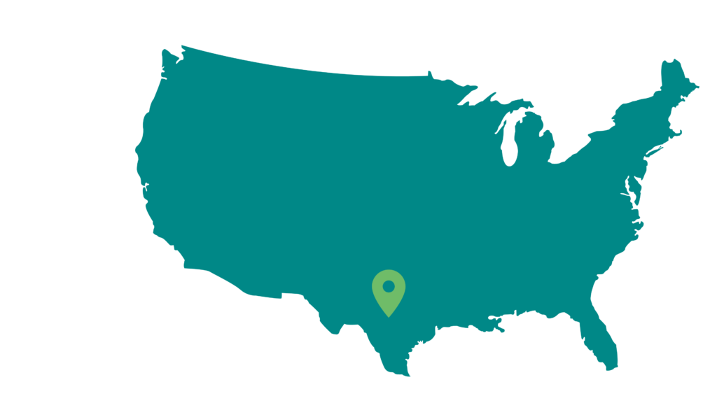
The Edwards Aquifer, located predominantly in Bexar County, provides San Antonio with an abundant and vital source of groundwater amounting to about 70% of the City’s water needs. Rainfall enters the Edwards Aquifer through fractures, caves, sinkholes and other features and replenishes the aquifer. However, rapid growth and development within the recharge and contributing zones of the aquifer, has adversely impacted the aquifer by reducing the number of recharge features able to maintain San Antonio’s primary water resource.
Innovative funding strategies for aquifer protection
In response to these challenges, the City of San Antonio created the Edwards Aquifer Protection Program (EAPP). The EAPP, established in May 2000, protects the Edwards Aquifer through the acquisition of property rights including fee simple purchases, conservation easements, and donations of land over the sensitive zones of the Aquifer. Perpetual conservation easements benefit San Antonio residents by limiting the amount of increased impervious cover allowable on the protected properties to preserve the quantity and quality of water recharging into the Edwards Aquifer.
How did they fund this?
The EAPP is essentially funded by a portion of a voter-approved 1/8-cent sales tax venue. On August 13, 2020, the City Council approved an Ordinance which places a proposition on the November 3, 2020 ballot for workforce training and higher education, effectively redirecting currently funded sales tax programs including the EAPP. Given the significant importance of the EAPP, an alternative funding plan has been developed to continue the program. This alternative funding plan was approved by City Council on September 17, 2020 and includes a commitment by the City of $100 million in funding for the EAPP over a period of up to 10 years. Funding from the current 1/8-cent sales tax is expected to carry the EAPP through FY 2022, and as such, the proposed alternative funding would begin in FY 2023.
Large-scale and long-term aquifer protection
To date, the EAPP has protected 161,511 acres (roughly 65361 ha) over the Edwards Aquifer recharge and contributing zones through purchase of property and negotiation of conservation easements. Read more about this aquifer protection program here: https://www.sanantonio.gov/ParksAndRec/News-Events/News-Press-Releases/Detail-Page/ArtMID/16253/ArticleID/19562/Edwards-Aquifer-Protection-Program-EAPP-Alternative-Funding-Plan.

Increased pressure on natural resources from climate change and conflict
Over the past half-century, Sudan’s Darfur region has experienced rapid population growth, periodic drought and, since 2003, a cycle of conflict that has displaced over two million people from their villages, many of whom now live in Internally Displaced Person (IDP) camps near the towns. This has increased pressure on the region’s natural environment, as people concentrate and compete for finite resources. In addition, climate change has had significant impacts on Darfur, with rainfall declining by half in some areas over the last decade. Simultaneously, wadi water is not utilized properly as many of the water systems are outdated or non-existent. For example, a major gully near one of the villages, caused by soil erosion, resulted in the wastage of seasonal rains as it rushed down the gully and left large areas of good land dry.
Community-driven and inclusive catchment management planning
In an effort to address these challenges, UNEP, together with the European Union, the Darfur Regional Authority, and the Government of North Darfur, launched a three-year, 6.45-million project – called the Wadi El Ku Project (WEK) – in 2013 to support recovery. Currently in Phase 2, the WEK project builds on a successful first phase, which has been spreading seasonal water to increase agricultural productivity and reduce soil erosion.
The project showcases how effective and inclusive natural resource management, based on UNEP’s experience in Sudan with water resource management and community-driven planning, can improve livelihoods by enabling sustainable increases in agriculture and related value chain productivity. The intent is to create a model for inclusive and effective water catchment management that can be scaled up and replicated elsewhere in Darfur. Improved dam structures and better irrigation systems are vital for communities in northern Darfur, and accordingly, the project has successfully completed weirs.
The Wadi El Ku project followed a broadly and deeply inclusive process, to secure a sense of ownership by the community, and in turn guarantee the longevity of the project’s effects and impacts. A weir management committee, whose members represent all the villages that benefit from the structure, governs each of the weirs. This has resulted in a bank account to collect community contributions of about 20 Sudanese pounds (about $38) per mukhamas (about 1.8 acres – roughly 0.7 ha) per year for maintenance – an amount the community expressed willingness to pay. Similarly, the project established a Catchment Management Forum – endorsed by government – which continues to serve as a platform that brings together members of government from across sectors and communities to drive action on water resource management in the wadi.
Increase in climate resilience and food security
Phase One of the WEK project was very successful, resulting in the construction of three dams and one hafir, allowing 1,584 households from 54 villages to cultivate also during part of the dry season. Agricultural production and household income had risen over the course of the project, with community members reporting tripled agricultural productivity in millet and sorghum. In addition, climate resilience increased, with the Seil Gideim weir providing a buffer to the surrounding communities during a low rainfall season.